Our role in planning for Open Space & Mountain Park lands just west of town...

1. Learning the interests of those who live near Open Space
2. Bringing those interets to the planning process
3. Searching for mutually beneficial solutions


Monday, June 14, 2010

Undesignated trails West of Sanitas

Below are some pictures of undesignated (social) trails West of the Sanitas area.  These trails are currently being discussed by the CCG. They could be left as is, some of them could be reclaimed, some of them could be re-routed, and some of them could become designated.

The ridge North of Mount Sanitas


Outcrops along the ridge


Looking East back towards the Mount Sanitas ridge


Looking West from the high ridge in the Northern part of the undesignated trail area.


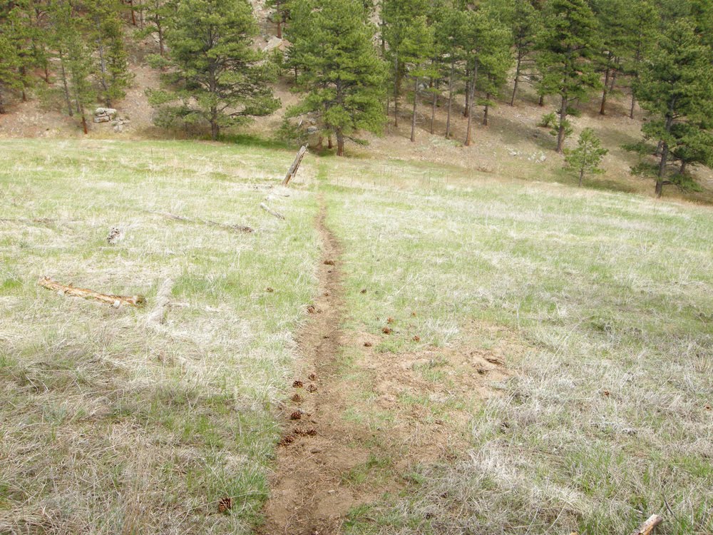
Undesignated trail heading NW in the Northwestern part of the area.


Heading back towards Mount Sanitas ridge along the fence line


Steep part of the trail back up to the ridge.

Wednesday, May 5, 2010

June 10 Board of Trustees Meeting

At the June 10 Open Space Board of Trustees meeting the South Boulder representative to the Community Collaborative Group, Scott Gordon resigned and I, as the alternate, was appointed by the Board to take his place.

Also, based on comments received, I have withdrawn the prior materials that I had written.

In consultation with the OSMP staff, the CCG facilitator, the other neighborhood representatives, I will be putting together a plan for better representing the interests of the caucus. I will be sending out this plan, with a request for comments and suggestions, as soon as possible.

Guy Burgess


Friday, April 30, 2010

Notes from the Neighborhood Listening Session April 7th

The second neighborhood Listening Session was held at the Chautauqua Community House on April 7th. Around 90 “neighbors’ of the West TSA showed up to participate. Neighbors were asked to frame their input as suggestions of “what they would like to see” as a future condition in the West TSA. The following is a compilation of the input we received that evening.

Parking

  • Better education & enforcement of designated parking areas in Chautauqua.
  • Add more parking on the north end of the Chautauqua meadow.
  • Address the parking situation on Eldorado Springs Rd at Dowdy Draw.
  • Address parking (dangerous) and social trails along Baseline; find a way to direct users to designated trails so that there is less use of social trails.

Trail maintenance/trail closures

  • Temporary (seasonal) closures for trail conditions that warrant it – in particular, very muddy trails.
  • Closure of the 3rd & 4th St trail when muddy
  • Add gravel to trails that are prone to muddiness.
  • Harden the trail surfaces against mud where possible.
  • Increased, aggressive, proactive trail maintenance.
  • Have OSMP coordinate with the various users groups to get their participation in maintaining trails and in helping with the upkeep of the trailheads and trails that they use.
  • All trail closures justified and monitored for “need” on a regular basis.

Trail access & trails (general)

  • Maintain the status quo in the West TSA
  • Bike parking (bike racks) at all/most trailheads.
  • Encourage people to ride bikes or to walk to trailheads rather than drive.
  • Maintain access to the West TSA.
  • Designate a trail between the Enchanted Mesa and the McClintock trails – tentatively named the “Enchanted Vista” trail.
  • Allow neighborhood volunteers to post relevant and timely information on the trailhead “reg” boards.
  • Increase ADA trail access.
  • Education of users about their noise impact on neighbors - especially at trailheads.
  • Create an “alternating use schedule’ in the style of Jefferson County’s “Centennial Cone Park “ – essentially a calendar of use for hikers and bikers.
  • Designate the Goat Trail.
  • Maintain trail access for NOAA/NIST/NCAR employees.
  • More access points
  • Create more trails to achieve less crowding/congestion
  • Fewer signs
  • Fewer internal fences

Trails - trail design and trail designations

  • Establish which social trails should stay and which should go; the ones that are to be kept need to be sustainably designed and maintained.
  • Be mindful that the common denominator of trail use in the West TSA is “walking”.
  • OSMP should use up-to-date, sustainable trail building practices.
  • Designate small, meandering social trails – use the social use as an indicator of desirable user experiences.
  • Designate trails by user type to avoid user conflicts.
  • Design trails to reduce user conflicts.
  • Better quality of single track trails – both hiking and biking trails
  • Build trails that do not encourage users to trespass on neighbor’s property.

Preservation & Conservation

  • Better seasonal signage
  • Reduce invasive weed species. Preserve wildlife corridors in the area of Shanahan Ridge 4 and others.
  • Maintain existing Voice & Sight and explore options for more V & S trails.
  • Dusk-to-dawn closures of HCAs and Natural Areas.
  • Conserve and preserve the area between Walker Ranch and Eldorado.

Mountain Bikes

  • Designate a north/south mountain bike trail (trail from Chautauqua to Eldorado) that would be a “single use” trail.
  • Reaffirm the prohibition of mountain bikes west of 93 & Broadway.
  • A possible mountain bike trail from Green Briar to South Boulder Creek Trail.
  • Access to mountain biking trails that can be accessed from home without having to drive to the trailhead.
  • Manage bike access specifically for neighbors, not as a destination for users who are not neighbors.
  • Loop trail for mountain bikes in the southern part of the West TSA.
  • Mountain bike trail between Boulder and Walker Ranch
  • Communication with Shanahan 6 neighbors and priority to be given to those neighbors living near proposed mountain bike trails.
  • Sustainably built north/south single track mountain bike trail to be built.
  • Make use of existing fire roads to accommodate mountain bike users.
  • Development of a “bike etiquette” program to educate bike users with the objective of decreasing user conflicts.
  • Implement a speed limit on all bike trails of 20 mph max with a 5 mph “passing” speed limit.

Dog Walkers

  • More Voice & Sight trails
  • Maintain existing Voice & Sight trails.
  • More enforcement of the Voice & Sight regulations.
  • Need more education about not leaving poo bags behind, more community “poo clean up” days, more trash bins and poo bag dispensers at trailheads.
  • Expansion of the trailhead leash program (leashed for first 100 yards of the trail) to all trailheads.
  • Education about “packing out” dog waste.
  • Dog leash regulations to extend to Thomas Lane (West part of South Boulder Creek Trail / Big Bluestem area).
  • During ground nesting bird season have seasonal leash regulations.

Miscellaneous

  • Reintroduction of extirpated species such as antelope (“extirpated species” are those that are no longer existing in a specific location such as the West TSA, but are not extinct as a species.)
  • Affirmation of the Open Space charter.
  • Better enforcement in Eldorado Springs and a budget for emergency response needs to be adequate to the use and more aggressive fire and pine beetle mitigation plan.
  • Explore a fee system for non-Boulder county users.
  • Direct communication with neighbors who have given their emails to OSMP for the West TSA (West TSA list-serve).
  • Discourage use of headphones on trails.

Thursday, February 25, 2010

Hello,

The CCG has completed the formal learning phase and is now moving into establishing our Desired Future Conditions. In order for the neighborhood reps to best serve you we have developed a survey for the residents who live west of Broadway or with-in one-half mile of OSMP lands affected by the west TSA. These are the areas the Open Space Board of Trustees has intended the CCG Neighborhood Reps to serve, Thank you for observing the Trustee's intentions and the honor system.

http://www.surveymonkey.com/s/WestTSAneighbors


Please help us distribute the link to additional community members and leaders like HOAs, etc who are in the intended area.

If you'd like to provide more feedback please feel free to email it to us at:
Westtsa.reps@gmail.com

We recognize that every survey has its limitations and flaws. That said we've drawn guidance from topics that have arisen in the CCG process and themes voiced by neighbors in prior outreach. From there, we've put in quite a bit of effort to find the balance between drilling down for details and keeping the survey to a manageable size.

If it proves helpful, we may use similar tools for gaining feedback to incrementally more specific concepts as we progress through the CCG process.

Thank you for your time and community involvement.

Tuesday, January 26, 2010

North Boulder West TSA Neighbors Field Trip - January 30, 2010 @ 1PM

The West TSA CCG has been meeting about twice per month for the last few months. These meetings have largely been informative, meaning that much of the time has been spent being briefed by OSMP on the current state of the West TSA system. We are now moving into the next phase where we need to bring forward our 'Desired Future Conditions'. For Joe Zamudio and I to best represent the desires of our North Boulder neighbors, we need to hear from you.

Some of you have provided some written or verbal desires to us previously. However, Joe and I (and the other Neighborhood CCG Reps) thought it might be helpful if we could visit with you personally; to have you show us precisely what your neighborhood-related Open Space issues are (trash, parking, congestion, noise, access points, animals, social trails, etc), to see these items from your point of view, and to hear possible solutions that you might be interested to bring forward. We also desire discussion regarding items that you think are working well and that you recommend not changing.

As outlined by the West TSA, our focus is on individuals living north of Canyon, west of Broadway, and south of Linden. So if you live in this general area and have 'desired future conditions' that you would like voiced during the West TSA planning process, please come meet us for an afternoon excursion around our North Boulder Open Space on Saturday January 30, 2010. The plan is to meet at the Centennial Trailhead parking lot on the south side of Mapleton/Sunshine Canyon) at 1 PM.

When: January 30, 2010 (Saturday), 1PM
Where:
Centennial Trailhead on Mapleton/Sunshine Canyon
What to bring: Ideas to share, walking shoes, warm clothes, water, bike
Who:
Anyone, really - but focusing on North Boulder West TSA neighborhoods

Due to the relatively short notice for this invitation, we plan to provide at least one more opportunity like this during this phase of the CCG process (likely either February 20 or 21, weather dependent).

We hope that you'll take the time to come educate us so that we can properly represent your desires in this West TSA planning process. Please pass this information on to your neighbors if you think they'd be interested.

We sincerely look forward talking with you on Saturday.

Regards,

Ned Patton and Joe Zamudio

Sunday, December 6, 2009

A field trip stop viewed from space

Chautauqua was scheduled to be one of the last stops of the cancelled field trip.  However, this site is best viewed from above. A Google satellite image shows a real neighborhood issue - several undesignated trails accessing Chautauqua from the neighborhood below. Many access points are marked by red arrows in the image below.  (Try clicking on the image to enlarge it.)


The next image shows more of the undesignated trail network - sub-parallel trails across Chautauqua meadow.


Sunday, November 22, 2009

Some field sites visited.


 Saturday seemed like a nice enough day to visit some of the sites of the postponed field trip. At least it was a good enough excuse to get outside. 

Up Flagstaff -
First stop was the Civilian Conservation Corp wall along old Chapman drive off of Realization Point. 

Then through the gate for the road to Green Mountain Lodge.


 Green Mountain Lodge - another CCC project.


Evidence of wildlife

 Another wall along E.M. Greenman trail


A re-route of E.M. Greenman trail. I'm not sure when this one dates to but the old route followed the drainage more. This newer section gives us a great view from some nice rocks.


 Wildlife spotted.


Snow covered much of the north-facing slopes, masking some of the re-routes. This area is well worth another visit. 

Friday, November 20, 2009

Field trip guide available

Maybe some of you were champing at the bit to get out in the field. I made an inquiry and the OSMP staff was nice enough to put together a short field trip guide for anyone who wants to visit the field trip sites on their own. Go to the West TSA CCG Field Trip page to download the pdf file of the guide.

Monday, November 16, 2009

Snow likely to cover trail design issues this weekend

Another reason the field trip has been postponed till January.

Another field trip postponement

We just got word that there will likely be too much snow and ice to safely do the field trip this coming weekend. Therefore it is postponed until January. Stay tuned for further details as we receive them.

Potential Topics for the West Trail Study Area Plan

The CCG field trip scheduled for Saturday 11/14 was unfortunately canceled due to weather.

We are planning to try again next Saturday 11/21.

We received a question about enforcement of rules and staffing levels. This seems like a common theme however doesn't appear directly in the list of Potential Topics for the West Trail Study Area Plan we have been given by staff. I will bring it up at the next meeting.

From OSMP
What Kinds of Topics Will Be the Focus for the Community Collaborative Group’s Work?
The Community Collaborative Group (CCG) will likely develop recommendations on the following topics. This is not a definitive list. The CCG may not address all these items given their preferences and the limitations of a 12-month timeframe. The CCG may decide that some of these issues may best be addressed by staff. The CCG will identify what they intend to accomplish, prioritize their work tasks, and focus on what’s most important first.
Recreational Resources

  • Trail Reroutes. Locate corridors for rerouting existing trails to improve visitor experience, trail sustainability, and access to key destinations.
  • Undesignated Trails. Determine which undesignated trails should be designated and upgraded, in order to provide sustainable access to key destinations not served by designated trails and provide a high quality visitor experience.
  • New Trails. Determine if any new trails should be constructed to provide physically and environmentally sustainable trail access (and trail corridors).
  • Existing Recreational Access. Determine where certain existing recreational activities can occur (e.g., horseback riding, fishing, sledding, dog/no-dog opportunities).
  • New Recreational Activities. Determine if and where new recreational activities might occur (e.g., bicycling).
  • Access Points / Concentrated Use Areas. Identify improvements to parking, facilities, and trail-road crossings.
  • Visitor Conflict. Identify ways to reduce or minimize visitor conflict for existing or new activities.
Natural Resource Protection
  • Trail System. Modify the existing trails system and identify undesignated trails to close, in order to improve protection and restoration of high value habitat areas.
  • Visitor Activities. Manage visitor activities to minimize resource impacts.
  • Weed Management. Manage visitor access to minimize spread of noxious weeds.
  • Education / Interpretation. Provide new or enhance interpretive opportunities.
Cultural Resource Protection
  • Trail System. Modify the existing trails system to improve protection of cultural resources and provide sustainable access to places and features that promote visitor appreciation and stewardship of cultural resources.
  • Visitor Activities. Manage visitor activities to minimize resource impacts.
  • Education / Interpretation. Provide new or enhance interpretive opportunities.
Neighborhood Access
  • Impacts on Neighborhoods. Minimize impacts from visitor use on neighborhood properties (e.g., parking and traffic congestion, litter and waste management, privacy, noise, and safety).
  • Access in Neighborhoods. Provide convenient and sustainable neighborhood and visitor access at trailheads and access points.

Thursday, November 12, 2009

Collaborative Learning Meeting 1 complete. Field trip on Saturday

Tuesday night was the second CCG meeting and the Reps had lots of reading to do beforehand. Our homework assignment are here: http://www.bouldercolorado.gov/index.php?option=com_content&view=article&id=11994:ccg-kick-off-and-orientation-meeting-102109&catid=719:west-tsa-ccg-meetings&Itemid=4039#hw

The meeting was primarily staff presentations on the Grasslands Ecosystem Management Plan (GEMP), Forest Ecosystem Management Plan (FEMP) and Visitor Master Plan (VMP).

OSMP also announced that the CCG field trip this Saturday will be open to the public. If you would like to attend please review the information and let the city know as they would like to plan accordingly.

West TSA Field Trip information here:
http://www.bouldercolorado.gov/index.php?option=com_content&view=article&id=12012:ccg-field-trip-and-pre-trip-meeting-&catid=719:west-tsa-ccg-meetings&Itemid=4039#agenda

and here:
http://www.bouldercolorado.gov/files/openspace/pdf_TSA_West/CCG/Agenda_and_locations_web_info_CCG_Field_Trip_11-14-09.pdf